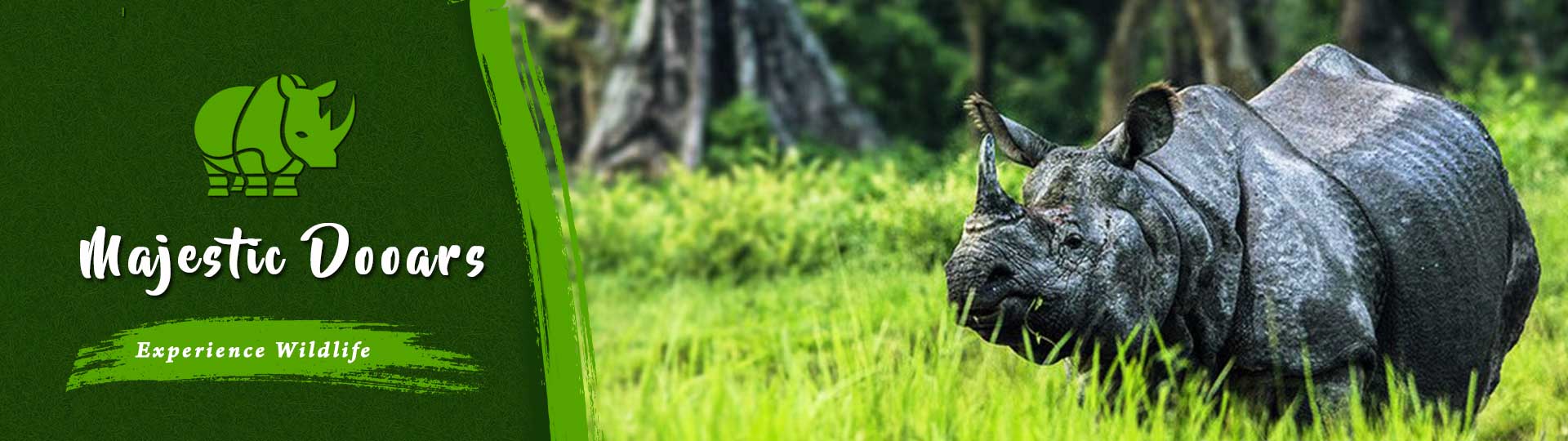
ABOUT DOOARS
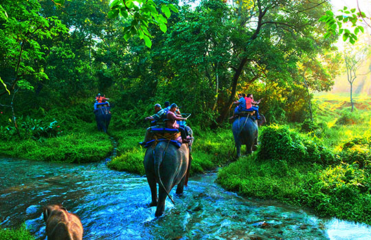
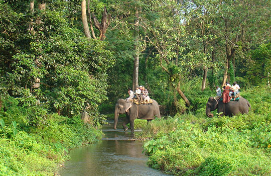
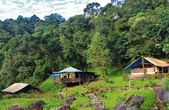
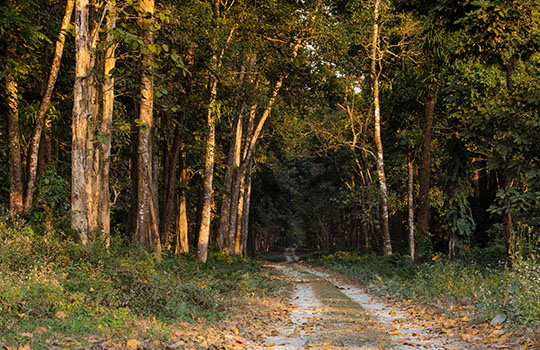
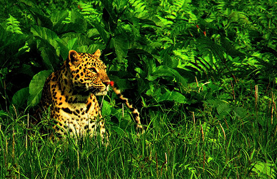
The foothills and floodplains to the south of the Eastern Himalayas are widely known as Dooars and the region is generally famous for its dense forest area. The word "dooar" or "duar" means door in the local languages. It is named so because this area works as a corridor or gateway towards Bhutan and the north-eastern past of India. Not only humans, but the Asian elephants use this region as a corridor to travel between Bhutan and India. From the plains of Darjeeling district, the upper region of Coochbehar district and the whole Jalpaiguri and Alipurduar districts of West Bengal to the Assamese districts of Dhubri, Kokrajhar, Barpeta, Goalpara and Bongaigaon -Dooars covers it all. The region is elevated from 90 m to 1750 m above the sea level. And the rich diversity is not only seen in flora and fauna, but also in the tribes, their cultures, dresses, lifestyle and food. Rivers like Teesta, Torsha, Raidak, Sankosh, Jaldhaka etc. fertile this region constantly.
View All PackagesHOW TO REACH
BY TRAIN
New Jalpaiguri, New Coochbehar, New Bongaigaon, Alipurduar, Hasimara -railway stations in these places are major connectivity to Dooars through trains. The route between New Jalpaiguri and Alipurduar Junction via Malbazar is very important and covers almost the entire Dooars.
BY AIR
Bagdogra Airport which is located 83 km from Dooars is the nearest airport. It is well developed and connected to many major cities in India. From the airport, you can easily find a taxi to reach Dooars. Dhupguri railway station is nearest from Dooars and is located 26 km away from the place.
BY ROAD
The prime mode of transport in this area is roadway. National Highway 31 nicely connects it to the rest of the country. Bus service by NBSTC, ASTC and private parties are regularly operated here. Taxi and jeep service are quite popular here.